Understanding the impacts of climate change on agroecosystem and integrating satellite data for precision agriculture.
Feeding the growing global population is challenging, especially when there are increasing competitions for land and water to maintain other essential ecosystem services. Our research thus integrates ecology, computational modeling, remote sensing, and machine learning approaches to advance the science that guides sustainable agricultural management, and to develop tools that can help farmers and regulators apply this science more effectively.
With the rapid progress in earth observatory power and a range of modern tools, we’re particularly interested the following:
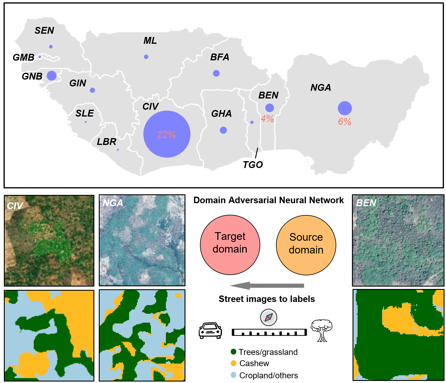
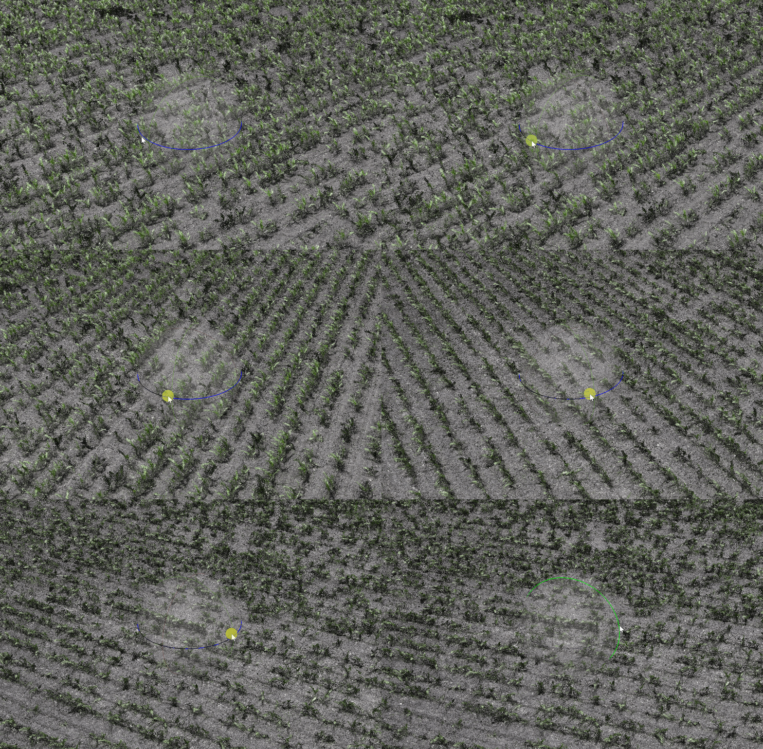
- Remote sensing and deep learning for agriculture management for mapping agriculture elements and patterns.
- Scalable quantification technology for high-resolution greenhouse gas (GHGs) fluxes.
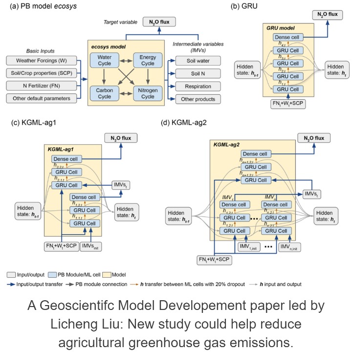
- Process-based hybrid modeling and knowledge-guided machine learning for agroecosystem prediction.
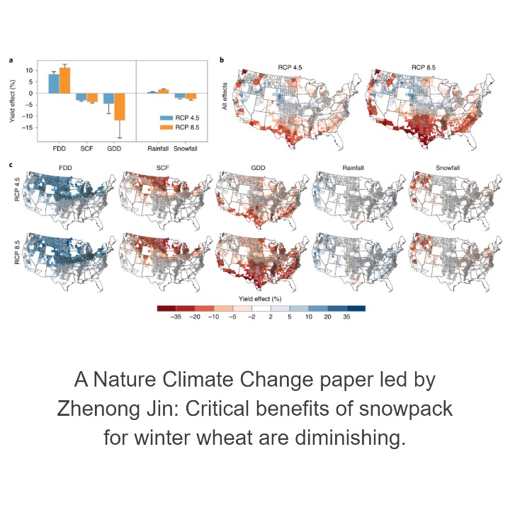
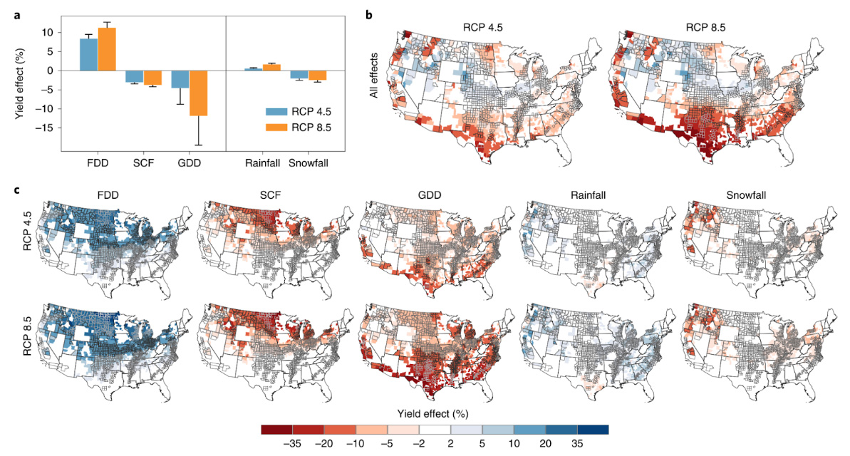
- Understanding the impacts of climate change on agroecosystem.
- Controlled environment and urban agriculture.
